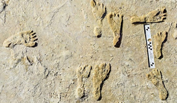
GIS helps archaeologists trace a mother’s journey
November 24, 2021
“The tasks of paleontologists and classical historians and archaeologists are remarkably similar — to excavate, decipher and bring […]
Read More
“The tasks of paleontologists and classical historians and archaeologists are remarkably similar — to excavate, decipher and bring […]
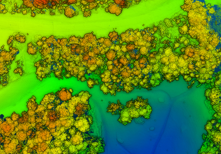
A new blog offered by Inertial Labs discusses the scope of work to turn lidar point-cloud data collection […]
RedTail Lidar System’s RTL-400 delivers the trifecta Summer is here, and with it comes the challenge of creating […]
Enables building stakeholders to take accurate measurements based on point clouds The latest release of the NavVis IndoorViewer 3D […]
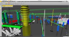
Trimble will release a new version of Trimble RealWorks, its all-in-one point-cloud software platform. The new version of Trimble RealWorks […]

SimActive Inc., a developer of photogrammetry software, is offering a new free data-processing service using Correlator3D. New users […]
Mobile-scanning company Viametris has launched the bMS3D backpack mobile scanning system, which features an embedded 360° camera. Narrow streets and […]


Follow Us