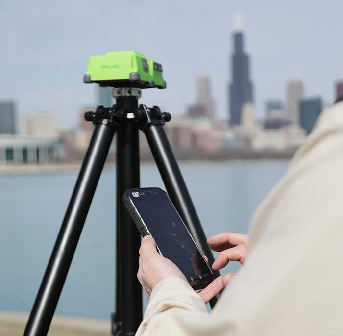
30 years of GNSS and the surveyor
September 11, 2020
Depending on your age, 30 years represents a varying opinion of time. For some, it may seem like […]
Read More

Why do we keep hearing about unmanned aircraft all the time, almost everywhere? Fortunately, the buzz has gone […]

Airports are extremely congested spaces, both on land and in the air, making it difficult to conduct surveys […]
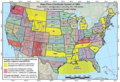
A famous quote applies to almost everything in our lives: “There is nothing permanent except change.” This well-known […]

Trimble released its X7 3D laser scanning system, designed for designed for surveying, construction, industrial and forensic applications, […]
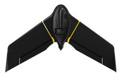
SenseFly, a drone solutions provider, will be demonstrating its drone solutions at Intergeo 2019, which will take place […]
Follow Us