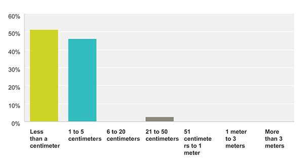
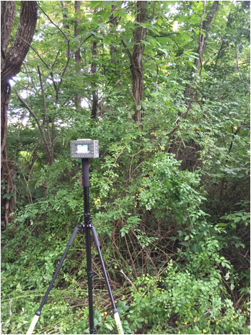
August 12, 2015 Collecting Points in Difficult Environments with the JAVAD TRIUMPH-LS By GPS World Staff
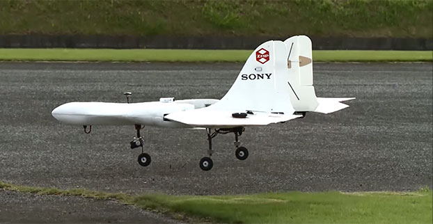
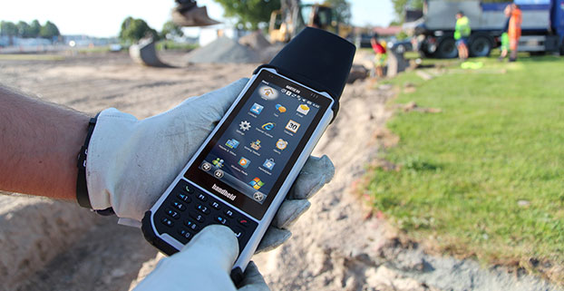
July 29, 2015 Form Factor and Portability of Triumph LS: As High as Your Pole Can Reach By GPS World Staff

![Figure 2. NAD 83 (2011) Network Design for Stations EA0873 and EA0875. [Note: GNSS Vectors for GNSS projects GPS 1588 and GPS 2057 were provided by NGS].](https://stage.gpsworld.com/wp-content/uploads/2015/08/DBZ_Newsletter_FIGURE2.jpg)