Juniper Systems launches Windows 10 rugged tablet
January 14, 2016
Windows 10 and a new large display are key features of Juniper Systems’ latest tablet, Mesa 2 Rugged […]
Read More

Windows 10 and a new large display are key features of Juniper Systems’ latest tablet, Mesa 2 Rugged […]

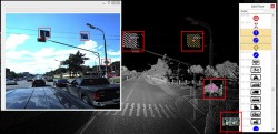
High-tech aerial laser surveying is being employed to reveal the hidden archaeology of an Iron-Age hill settlement in […]

Geneq has introduced a new “all-in-one” GPS, GNSS and RTK Data Collector Series, the SXPro. The professional-grade series […]


Integration for infrastructure monitoring, navigation By Desislava Staykova and Nico Zill Rapid development in the technology of combined […]

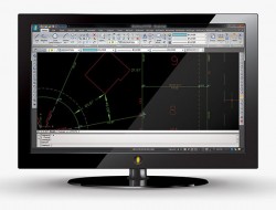
MicroSurvey Software has released MicroSurvey CAD 2016, the newest generation of its desktop survey and design program for land surveyors […]

Part 1 of this series appeared in the June Survey Scene newsletter, Part 2 appeared in the August newsletter, and Part […]

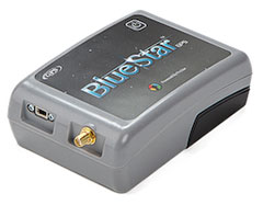
BlueStarGPS offers both GPS and GNSS options in a rugged, lightweight package. The BlueStarGPS device was designed to […]
© 2025 North Coast Media LLC, All Rights Reserved.

Follow Us