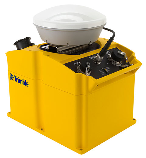
September 11, 2014 Topcon and MAVinci Announce Sirius Pro for Use with RTK Base Stations or NTRIP By GPS World Staff
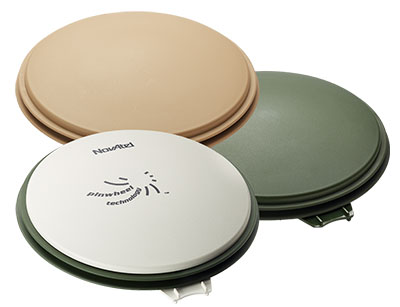
September 3, 2014 Dual-Frequency Pinwheel Antenna Designed for Optimal Positioning By GPS World Staff