Skip to content

TAG: surveying

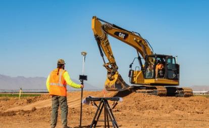
Photo: payamona / iStock / Getty Images Plus / Getty Images

GNSS + sensors have transformed surveying

February 23, 2022

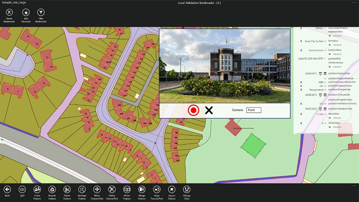
Screenshot: 1Spatial

1Spatial unveils new survey capabilities in 1Edit

February 4, 2022

This article is tagged with , , , and posted in Latest News, Mapping, Survey
Photo: Trimble

Trimble Dimensions+ opens 2022 Call for Speakers

February 2, 2022

Hemisphere's receivers are frequently used in construction applications. (Photo: Hemisphere GNSS)

High-rate RTK: Helpful or hypeful?

January 13, 2022

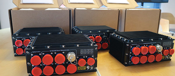
Photo: Soc-e

Launchpad: Vehicle tracking, camera drones, e-bikes

December 15, 2021

Sample map of Denver region. (Image: NGS website)

A guide to the latest Beta NGS Map

December 1, 2021

This article is tagged with , , , , and posted in Opinions, Survey
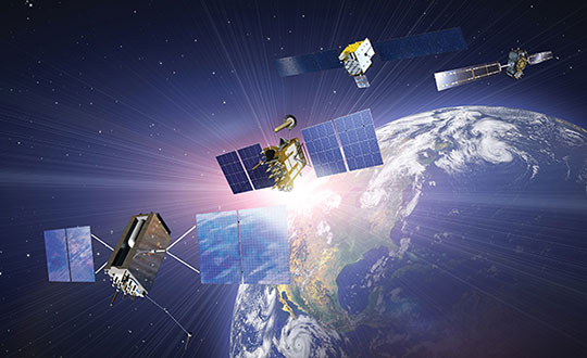
(Satellites from left) GPS: In July 1995, GPS achieved full operational capability (FOC). GLONASS: In December 1995, the (then) Soviet system achieved FOC. BeiDou: On June 23, 2020, China launched the final satellite of the BeiDou-3 constellation. Galileo: The constellation has 21 usable satellites.(Credit: Satellites from public sources; background image: NASA/Chaykovsky Igor/Shutterstock.com)

Global GNSS constellations: Why 2 + 2 equals more than 4

October 18, 2021

Gavin Schrock, PLS

The hazards of mixing RTK bases

September 29, 2021

This article is tagged with , , , , , , and posted in Opinions, Survey