Woolpert to collect lidar data for USGS
July 2, 2024
The U.S. Geological Survey (USGS) has commissioned Woolpert to collect Quality Level 1 lidar data and conduct ground control surveys throughout Southern California.
Read More
The U.S. Geological Survey (USGS) has commissioned Woolpert to collect Quality Level 1 lidar data and conduct ground control surveys throughout Southern California.
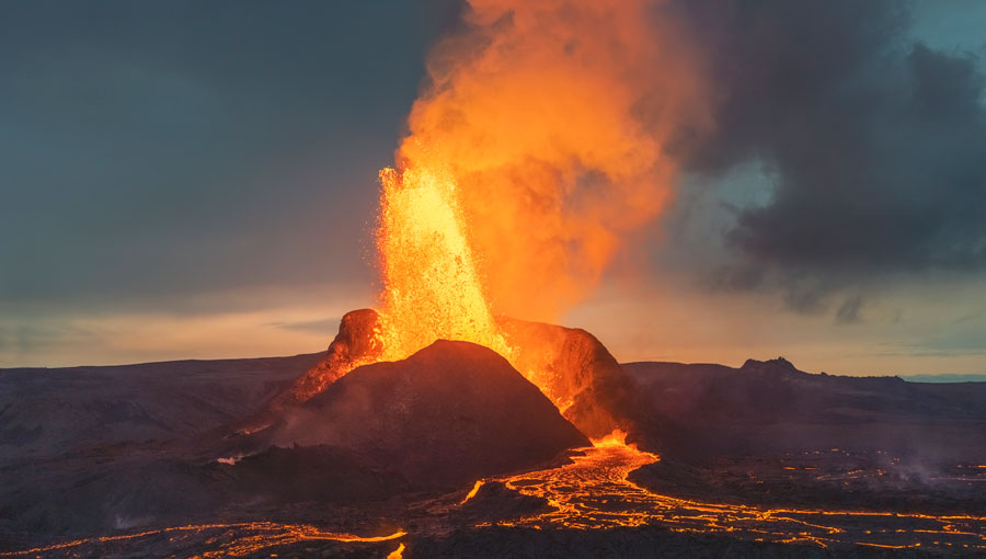
The Japan Meteorological Agency (JMA) has reported that on July 10-17, data from GNSS signals indicated continuing minor inflation at shallow depths beneath Mount Ioyama.
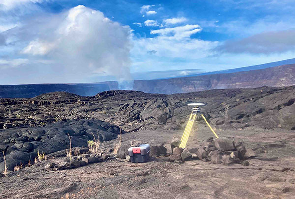
The Hawaiian Volcano Observatory (HVO) of the U.S. Geological Survey has been working to rebuild its geodesic monitoring […]
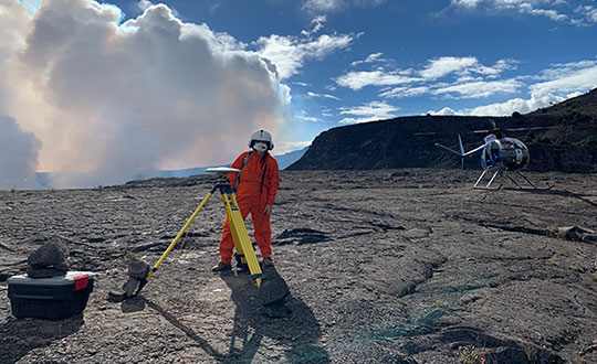
2020 Ends with a Bang as Kilauea Volcano Erupts Beginning in September, GPS stations in Kilauea’s upper East […]
Firm will provide geophysical surveying services across multiple states Dewberry, a privately held professional services firm, has been […]
Organizers of the International Lidar Mapping Forum (ILMF), taking place Jan. 28-30, 2019, in Denver, are looking for […]
The U.S. Geological Survey (USGS) has selected Dewberry, a privately held professional services firm, to collect and process […]

New U.S. Geological Survey (USGS) maps show areas that could be affected by Mauna Loa lava flows — […]


Follow Us