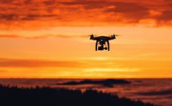
DJI urges FAA to reconsider ‘flawed’ remote ID rule in 89-page response
March 12, 2020
Drone-maker DJI has filed an 89-page formal comment urging the U.S. Federal Aviation Administration (FAA) to allow drone […]
Read More

Drone-maker DJI has filed an 89-page formal comment urging the U.S. Federal Aviation Administration (FAA) to allow drone […]

On Feb. 3, drone company Quaternium broke its own record for long flight time with a hybrid-fuel electric […]

A roundup of recent products in the GNSS and inertial positioning industry from the March 2020 issue of […]
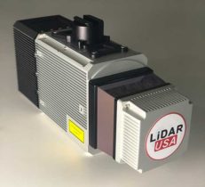
The Optech CL-360 has joined the ranks of Lidar USA Snoopy systems. The Snoopy CL-360 has been meticulously […]
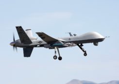
A small aircraft’s encounter with a likely military drone near Edwards Air Force Base resulted in navigation failure, […]

Researchers from the U.K.’s National Centre for Nuclear Robotics (NCNR) are using Routescene’s UAV lidar technology to map […]

Phase One Industrial, a provider of medium-format metric cameras and imaging solutions for aerial applications, has signed an […]
Follow Us