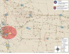
Drone mystery lights up Colorado skies
January 30, 2020
A proposed FAA rule — open for public comment until March 2 — would require drones over 0.55 […]
Read More

A proposed FAA rule — open for public comment until March 2 — would require drones over 0.55 […]

DroneUp LLC and the State of Alaska have signed a Participating Addendum for the NASPO ValuePoint contract for […]

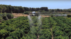
The use of drones for precision agriculture is gaining momentum because of their capability to deliver the most […]

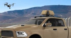
DroneShield has released a vehicle-mounted drone detection and defeat product, DroneSentry-X. Lightweight at about 10 kilograms, it can […]
Earlier this year, a drone pilot and two data scientists from PrecisionHawk traveled to the Philippines for a […]

Hitec Commercial Solutions LLC has acquired Straight Up Imaging (SUI). Hitec stated in a press release, “SUI’s experience […]

A study by Future Market Insights (FMI) said the global geospatial solution market will witness growth at a […]
Follow Us