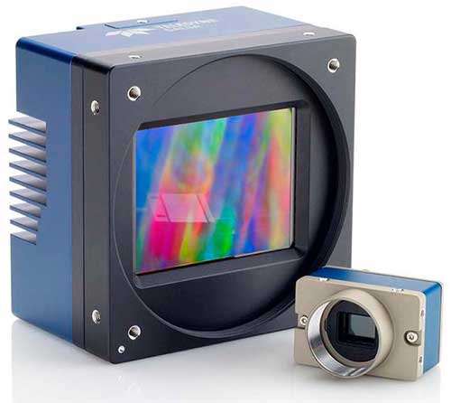
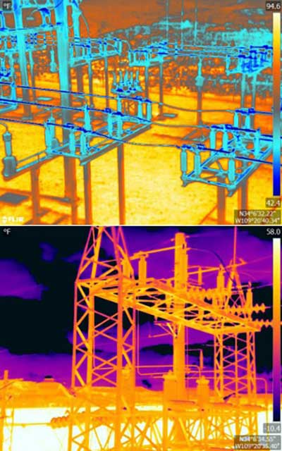
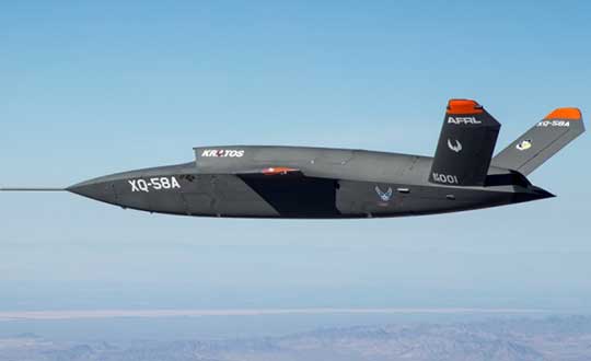
April 25, 2019 Teledyne Imaging showcases mapping, object recognition and tracking tech at AUVSI By Tracy Cozzens
April 22, 2019 Research Roundup: Design and evaluation of integrity algorithms for PPP in kinematic applications By Tracy Cozzens
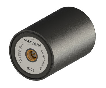
March 22, 2019 Maxtena launches GNSS antenna for high-precision and autonomous applications By GPS World Staff