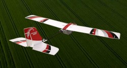
PrecisionHawk acquires Uplift for construction drone tech
November 5, 2018
Uplift adds commercially trained pilots and expands PrecisionHawk’s industry expertise and relationships in drone-based services for construction and […]
Read More

Uplift adds commercially trained pilots and expands PrecisionHawk’s industry expertise and relationships in drone-based services for construction and […]

A roundup of recent products in the GNSS and inertial positioning industry from the November 2018 issue of GPS World magazine.
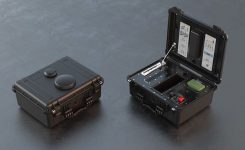
DroneShield has launched DroneNode in response to end-user requirements. DroneNode is an evolution of the company’s DroneCannon product. […]

Kespry and DJI are partnering to offer the DJI Mavic 2 Pro drone as part of the Kespry […]
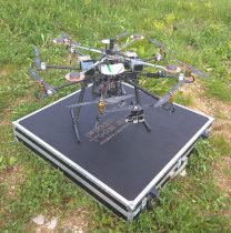
A European Union-funded initiative has developed a low-cost positioning and navigation system for unmanned aerial systems (UAS). Using […]
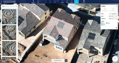
Nearmap has introduced a complete measurement toolset in MapBrowser for the solar, roofing and other rooftop industries. The […]

The UAV inspection industry continues to grow, as evidenced by these photos of actual end-user application. Unmanned systems […]
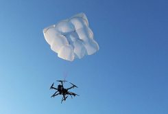
Drone Rescue will present its parachute systems DRS-5 and DRS-10 to the professional public for the first time […]
Follow Us