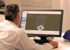
Topcon introduces software for UAV inspections
August 30, 2018
Topcon Positioning Group has introduced software to facilitate the data-processing workflow for UAV (unmanned aerial vehicle) infrastructure inspection. […]
Read More

Topcon Positioning Group has introduced software to facilitate the data-processing workflow for UAV (unmanned aerial vehicle) infrastructure inspection. […]
Geospatial companies played a key role in the government’s response to the Kilauea Volcano eruption. The volcano on the Big Island of Hawaii began erupting May 3, and while quiet for more than a week, it could resume erupting at any time.
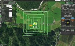
UgCS, a provider of mission planning software for unmanned aircraft systems (UAS), and public safety and disaster response […]

Komatsu America Corp. and Propeller Aero Inc. are partnering to boost the efficiency of construction job sites using […]
The Nevada Institute for Autonomous Systems (NIAS) has launched of the Nevada Drone Center of Excellence for Public […]
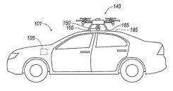
Ford has applied for a patent that would send a drone to dock with an autonomous vehicle and act […]
After a couple of good hours of progress, we suddenly ran up against a massive “tail-back” — as […]
Follow Us