UAVs, new sensors and mapping help with volcano eruption response
July 2, 2018
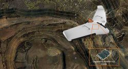
A team of five volunteers armed with drones, advanced sensor systems and GIS technologies joined the response effort […]
Read More

A team of five volunteers armed with drones, advanced sensor systems and GIS technologies joined the response effort […]

An upcoming episode of “Advancements” with Ted Danson will explore recent developments in autonomous vehicles such as drones, […]

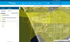
Commercial drone operators in California and Hawaii — as well as a few areas in Nevada, Utah and […]

If you’ve registered a commercial drone, the U.S. Federal Aviation Administration (FAA) wants to hear from you. On […]

Leica Geosystems has released the Leica Aibot, its latest unmanned aerial vehicle (UAV) system based on DJI’s aerial […]

Hangar Technology Inc., a robotics-as-a-system technology company providing scalable 4D visual insights, has been selected to join the […]

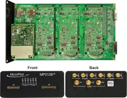
MicroPilot Inc. has teamed with Trimble to integrate high-precision GNSS technology as part of its autopilot for guidance […]

Ten state, local and tribal governments have been named to conduct flight tests as part of the Federal […]
Follow Us