
Aerial Photography, Surveying Top FAA-Approved Business Uses for UAS
September 10, 2015
The Association for Unmanned Vehicle Systems International (AUVSI) today released a report that finds more than 25 types […]
Read More
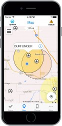
The Federal Aviation Administration (FAA) has released the beta version of a new smartphone application called B4UFLY for […]
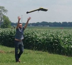
Clark State Community College in Springfield, Ohio, now includes flying unmanned aircraft systems (UAS) as part of its new precision […]
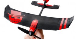
TobyRich has integrated OriginGPS’ Nano Hornet into a smartphone-controlled gaming drone line, to extend its range and enhance […]

The Institute of Navigation (ION) GNSS+ conference Sept. 14-18 covers issues such as PNT privacy, includes a new UAV session, and brings back the popular indoor navigation demonstrations with a significantly larger group of companies demonstrating.
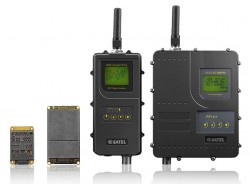
Finnish radio data communication specialist Satel will present innovative new products for mission-critical radio data networks at INTERGEO, being […]
Follow Us