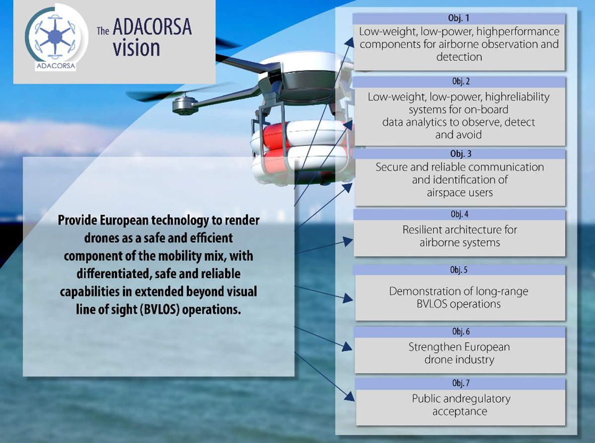
September 29, 2021 Celestia Technologies Group joins European move for long-range drones By Tracy Cozzens
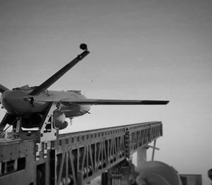
September 8, 2021 Kratos Air Wolf Tactical Drone System completes successful flight at Burns Flat, Oklahoma Range Facility By Matteo Luccio
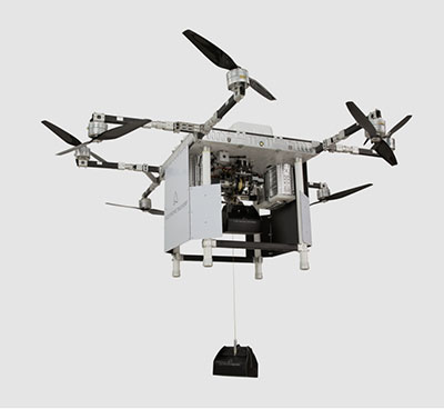
September 6, 2021 A2Z Drone Delivery launches commercial dual-payload UAV featuring its Freefall Delivery System By Matteo Luccio