February 19, 2015 In a Surprising Move, the FAA Proposes Lightweight Commercial Rules for Small UAS By Eric Gakstatter
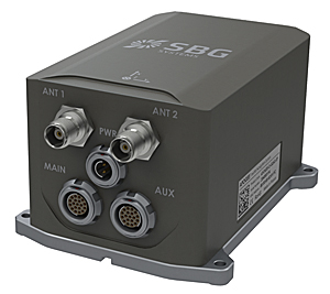
February 18, 2015 SBG Systems Releases Apogee Series of MEMS Inertial Navigation Systems By GPS World Staff