FAA Selects Mississippi State as Center of Excellence for UAS
May 8, 2015
After a rigorous competition, the Federal Aviation Administration (FAA) has selected a Mississippi State University team as the […]
Read More

After a rigorous competition, the Federal Aviation Administration (FAA) has selected a Mississippi State University team as the […]

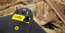
Featuring the latest in UAVs from QuestUAV, NovAtel, Riegl, Sensefly, and C-Astral, from GPS World magazine’s May issue.

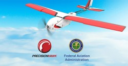
Today’s second announcement of a new UAV-related initiative by the Federal Aviation Administration (FAA) was directed at private […]

Federal Aviation Administration (FAA) Administrator Michael Huerta announced two new initiatives related to unmanned aircraft systems (UAS) today […]

The Association for Unmanned Vehicle Systems International’s (AUVSI’s) Unmanned Systems 2015 show, held May 4-7 in Atlanta, convenes […]

Avyon, a sUAS (Small Unmanned Aircraft Systems) integrator and distributor, is using the Applanix APX UAV for its md4 […]

The United States will reach one million unmanned aircraft systems (UAS) flights per day within the next 20 […]
Follow Us