
How NOAA is digitizing charts of the Erie Canal
July 24, 2024
By digitizing the paper Erie Canal charts, NOAA can now provide electronic navigational charts for the canal from Albany to Lake Ontario.
Read More
By digitizing the paper Erie Canal charts, NOAA can now provide electronic navigational charts for the canal from Albany to Lake Ontario.

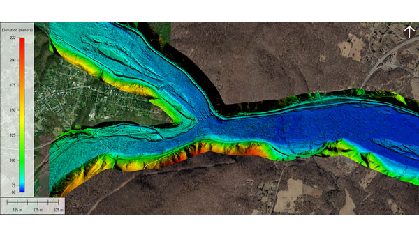
The U.S. Geological Survey (USGS) has commissioned Woolpert to collect Quality Level 1 lidar data and conduct ground control surveys throughout Southern California.
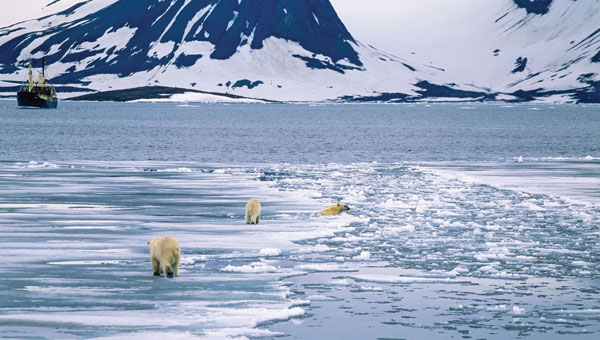
“Seen & Heard” is a monthly feature of GPS World magazine, traveling the world to capture interesting and unusual news stories involving the GNSS/PNT industry.
The United States Geological Survey (USGS) and Dewberry, a privately held professional services firm, have jointly released a […]

A magnitude 7.8 earthquake struck Turkey and northern Syria collapsing buildings and killing more than 2,000 people, followed by magnitude 6.7 aftershocks.

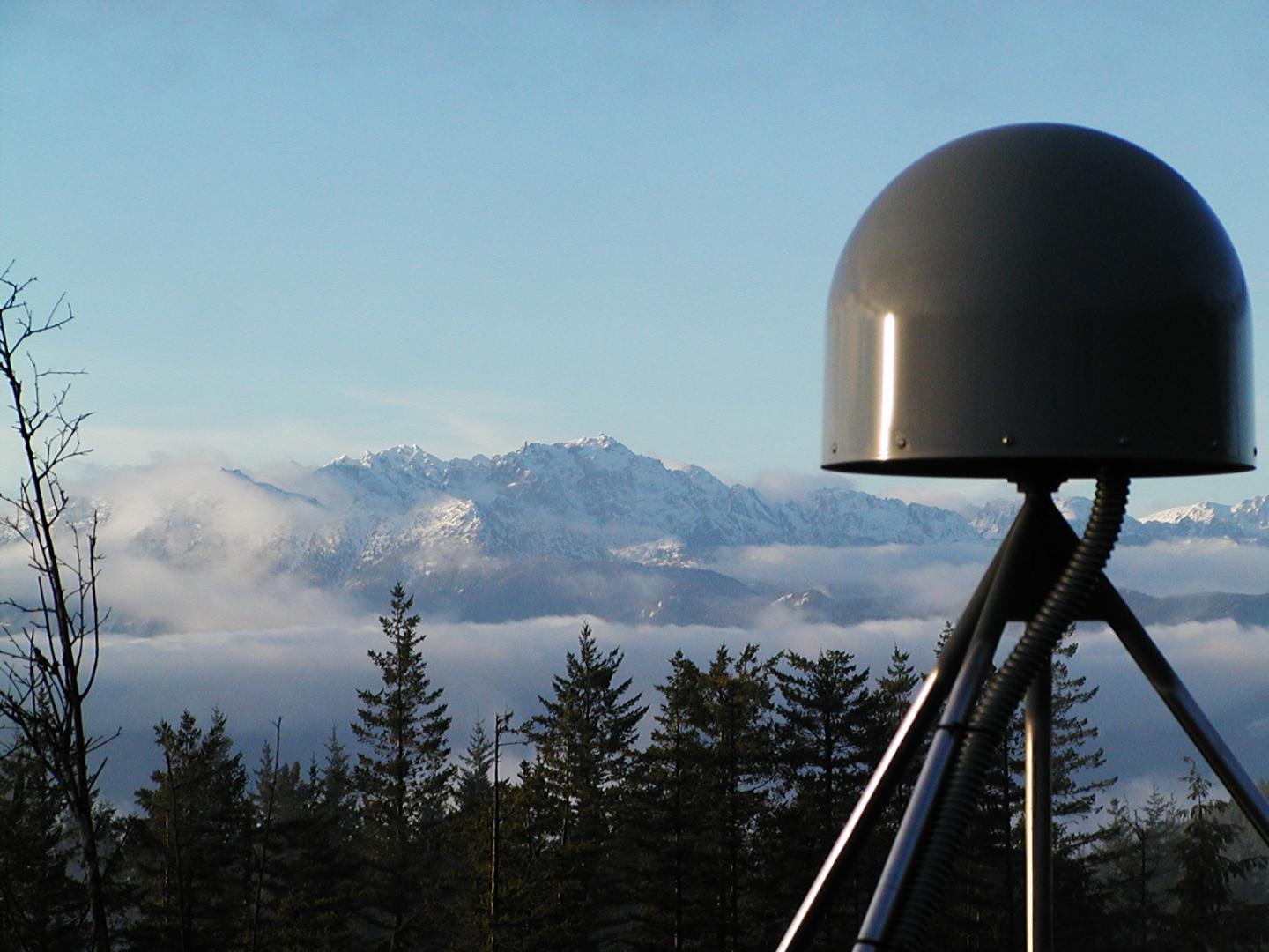
Work supports climate change research, the 2020 Juneau landslide, and effects of the Exxon-Valdez oil spill NV5 Geospatial […]

125+ speakers and 50+ sessions are confirmed for the 2022 edition of Geo Week in Denver Organizers of […]
After 15 years of planning and development, the ShakeAlert earthquake early warning system is now available to more […]


Follow Us