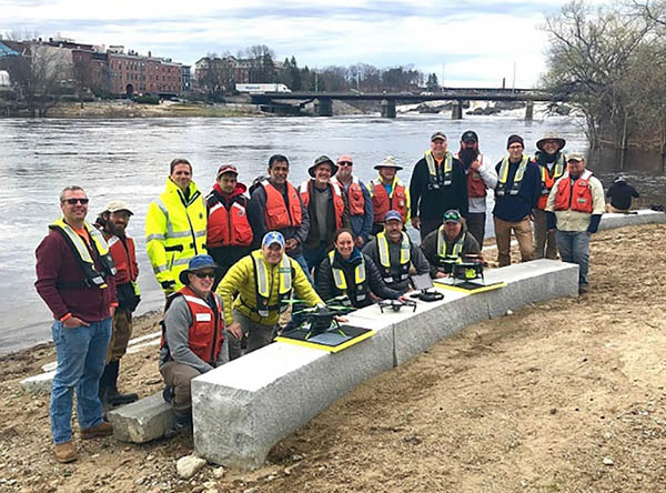
TAG: USGS

Dewberry awarded USGS Earth MRI task orders

September 22, 2020

Closeup of fires at Honesuckle Point south of Eden. (9atellite image ©2020 Maxar Technologies)

Visualizing the Australian bushfires through satellites and maps

January 13, 2020

2019 Aquatic Airshow participants at Androscoggin River in Auburn, Maine, on May 1. (Photo: Mario Martin-Alciati, USGS)

USGS, scientists test drone-based river analysis

June 4, 2019

This article is tagged with , , , , , , , and posted in Latest News, Mapping, UAV/UGV

The story of GIS at DHS: From Manhattan to Katrina

May 8, 2019

Scientists map fast-moving fault off Alaska

August 7, 2018

The NWS animated smoke risk forecast is now integrated into Esri's Story Map app. (Screenshot: Esri)

US wildfires mapped and placed in context

August 5, 2018

Image: GPS World

Quantum Spatial lidar surveys provide volcano eruption insights

August 1, 2018

Image: GPS World

Esri book highlights analyzing, mapping surface water features

June 26, 2018