October 30, 2019 Eos releases underground infrastructure mapping solution for Collector for ArcGIS By Tracy Cozzens
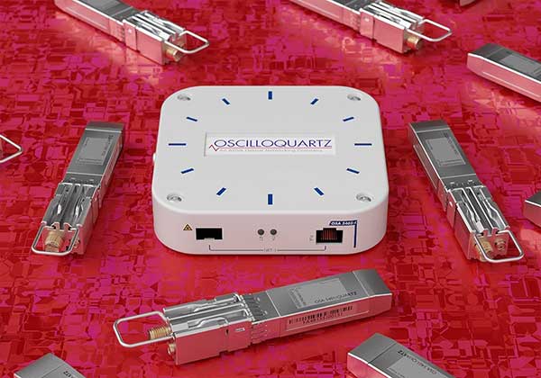
October 24, 2019 Adva brings sub-microsecond synchronization to utility and broadcast networks By Tracy Cozzens
May 21, 2018 Eos and CartoPac partner to turn mobile devices into high-accuracy GNSS tools By Tracy Cozzens
April 30, 2018 Sharper Shape introduces multi-sensor payload for manned helicopters By GPS World Staff
February 7, 2018 Esri releases Operations Dashboard for ArcGIS to manage events in real time By GPS World Staff
September 26, 2017 Microsemi’s BlueSky GPS Firewall protects critical infrastructure By Tracy Cozzens