April 15, 2015 Esri, Safe Software Release Common Framework for Electrical Utilities By Tracy Cozzens
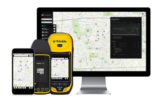
January 27, 2015 Trimble Unity Replaces Connect for Water, Wastewater and Stormwater Utilities By GPS World Staff