Mapping marvel: Mapping Earth’s wildfires
November 4, 2023
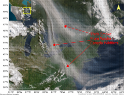
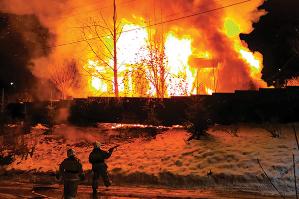
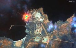
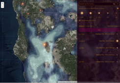
Devastating wildfires have encompassed Greece, Canada, the United States, and other parts of the world. These wildfires have incinerated entire communities, taken lives, and has had disastrous environmental effects.
Read More


Follow Us