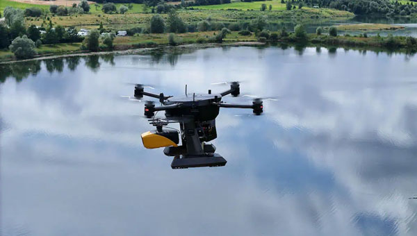
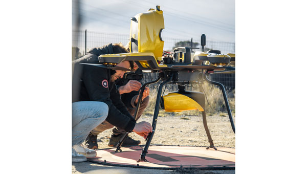
October 10, 2025 Orkid’s new VTOL drone integrates GNSS, lidar, photogrammetry and Starlink By Tracy Cozzens
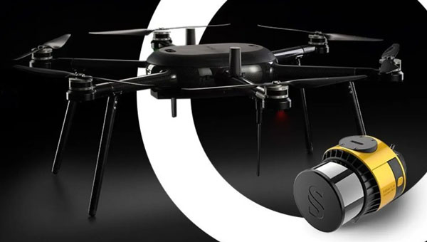
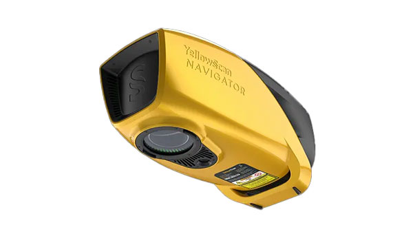
August 21, 2024 YellowScan, Xer Technologies partner for underwater topography mapping By Jesse Khalil