Listen to this content
Trimble has released two positioning system portfolios for mobile mapping and direct georeferencing — Applanix POS LVX+ and Applanix POS AVX RTX — designed to meet evolving demands in the geospatial industry. The solutions are designed to deliver improved accuracy and efficiency for land-based and airborne mobile mapping applications.
Trimble is showcasing both portfolios at Intergeo 2025, alongside Applanix POSPac Complete advanced post-processing software introduced last week.
Both portfolios include a one-year subscription to the Trimble CenterPoint RTX correction service and Applanix POSPac Complete for desktop and cloud, which includes post-processed CenterPoint RTX. By integrating real-time and post-processed data, users can achieve global coverage without traditional GNSS base stations, avoiding complications from base stations in different local datums or epochs. Both systems achieve centimeter-level accuracy and support Trimble IonoGuard technology for advanced mitigation against ionospheric disruptions.
“By bundling both real-time and post-processed RTX into the POS LVX+ land and POS AVX RTX air solutions for mobile mapping, these ready-to-use systems simplify procurement and enable immediate deployment,” said Steve Woolven, president and general manager of Applanix at Trimble. “These portfolios enable our customers to tackle the most complex mapping projects and ensure optimal accuracy for final deliverables.”
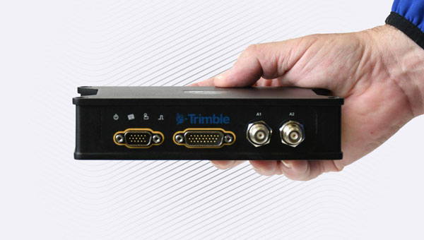
Land-Based Systems
The POS LVX+ portfolio offers six models with several key features: a smaller, lighter and more cost-effective design with rugged components suitable for diverse users and project types; the Applanix IN-Fusion+ multi-sensor aided inertial engine that maintains performance in challenging environments like urban canyons or tree canopy; suitability for projects using lidar sensors or cameras, plus fleet management and automotive applications; and onboard and external inertial measurement units that enhance reliability and performance.
Airborne Positioning
The Applanix POS AVX RTX portfolio includes four variants for mapping at different flying heights through improved orientation accuracy. Key features include over-the-air correction technology achieving positioning, velocity and orientation accuracy up to 0.03 horizontal meters root mean square (RMS) and 0.06 vertical meters RMS without additional setup or infrastructure; robust hardware with advanced inertial measurement units (IMU) and FAA-certified antenna and cabling; and combined real-time and post-processed RTX correction data for time-critical missions, large-scale corridor mapping and projects in remote or inaccessible areas.
Availability
The POS LVX+ and POS AVX RTX will be available in the first quarter of 2026 through Trimble Applanix sales channels. After the initial 12-month period, customers can purchase CenterPoint RTX license renewals and POSPac Complete term licenses. For more information or to request a demo, visit https://applanix.trimble.com/en/products/hardware/applanix-avx-rtx or https://applanix.trimble.com/en/products/hardware/applanix-pos-lvx+.


