No audio available for this content.
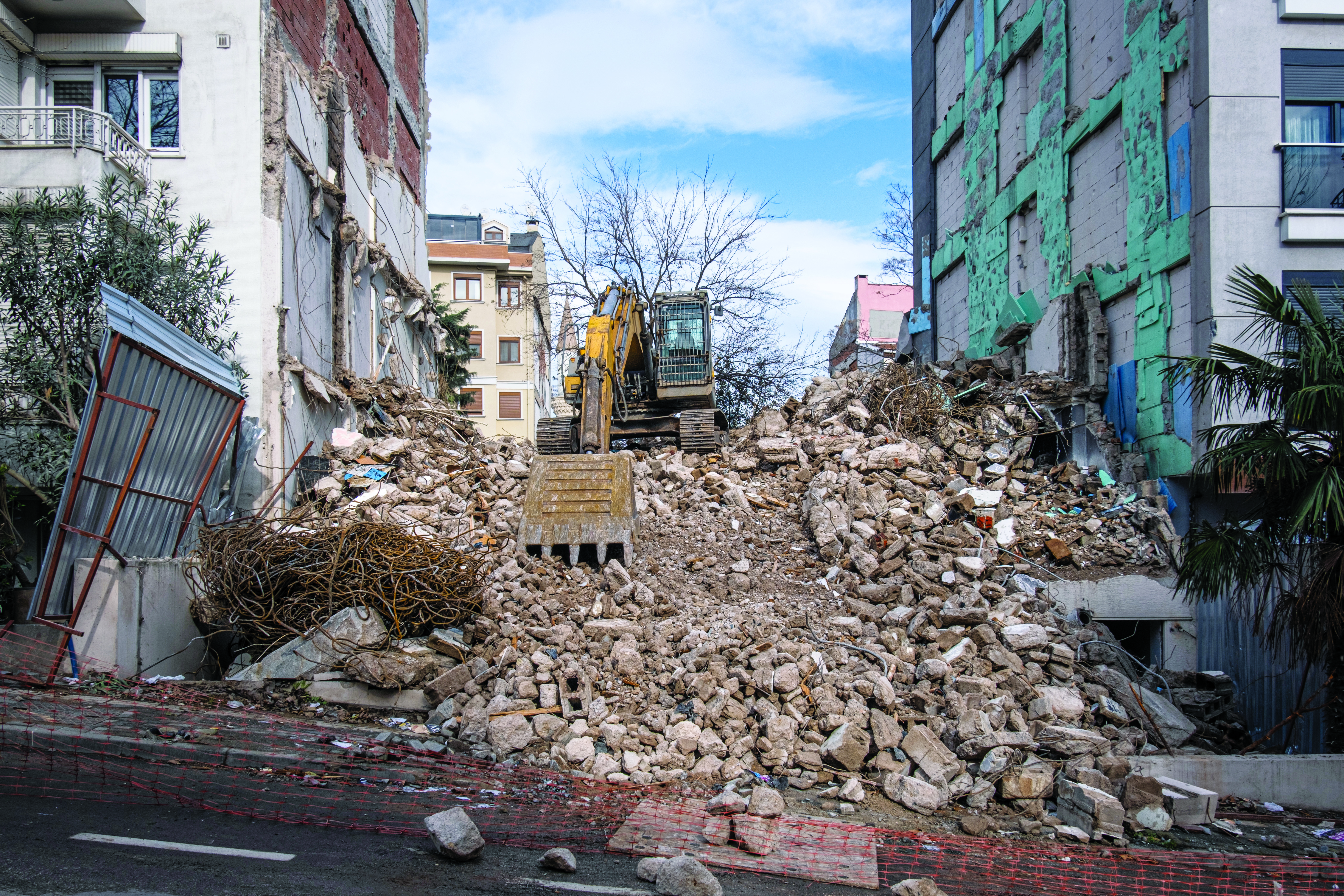
Türkiye is no stranger to earthquakes. In February 2023, a devastating 7.8-magnitude earthquake struck near the Türkiye-Syria border, followed by another nearly as strong.
Six Turkish universities have launched a real-time geodetic monitoring network to track earthquake-related ground deformation across Thrace and the Southern Marmara region, reports Hürriyet Daily News.
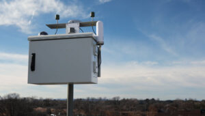
TR-TRAK-GNSS will monitor seismic and tectonic activity using 28 GNSS stations. The system is designed to evolve into a major scientific and early-warning infrastructure capable of detecting tectonic deformation in real time and identifying structural movements in buildings across cities and university campuses.
Once fully deployed, the network will form a continuous monitoring ring encircling Thrace and Southern Marmara.
The project will be financed through each participating university’s Scientific Research Projects resources, with institutions covering the installation costs of GNSS stations within their own areas of responsibility.