Listen to this content
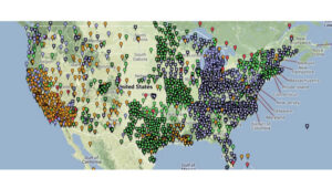
GEODNET, a decentralized real-time kinematic (RTK) network with more than 20,000 active stations worldwide, is now partnering with UTTO, a leading innovator in underground utility mapping and digital damage prevention solutions.
The partnership enables UTTO to leverage GEODNET’s global RTK correction services across its solutions, bringing enhanced centimeter-level accuracy to the utility locating and GIS industries.
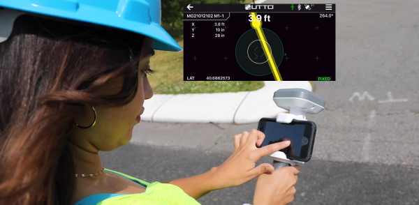
UTTO is known for pioneering products such as the vLocate Mapper, which integrates directly with GIS platforms like Esri’s ArcGIS Field Maps to streamline underground asset mapping and verification. By adopting GEODNET’s RTK correction services, UTTO customers gain access to reliable, triple-band GNSS corrections delivered through a uniform, global network. This ensures consistent accuracy across regions and significantly reduces the complexity traditionally associated with GNSS corrections.
The collaboration provides UTTO users with seamless access to GEODNET’s correction services out of the box, eliminating the need for manual RTK configuration and reducing deployment friction for field teams. This simplifies the process of achieving centimeter-level accuracy in mapping underground infrastructure, while maintaining scalability for large utility operators and municipalities.
Key benefits of the partnership include:
- Turnkey RTK Access. UTTO devices now integrate directly with GEODNET corrections, requiring no manual RTK setup.
- Global Coverage. GEODNET’s network of 20,000+ stations ensures consistent high-precision positioning across multiple regions.
- Utility Mapping Optimization. Enhanced accuracy for locating underground assets, reducing strikes and improving field efficiency.
- GIS Integration. Seamless compatibility with platforms such as Esri ArcGIS.