No audio available for this content.
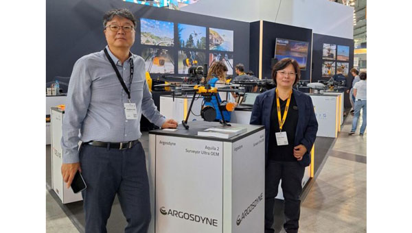
YellowScan and Argosdyne have partnered to integrate YellowScan’s Surveyor Ultra OEM lidar system with Argosdyne’s newly C2 Class certified AQUILA-2 UAV. This collaboration aims to improve data acquisition and drone performance for various industries.
The C2 Class certification allows for safer operations near people and in urban areas, meeting European safety standards. Combined with YellowScan’s lidar technology, this certification allows for more precise and efficient data collection for surveying, mapping and environmental monitoring projects.
The integrated system captures detailed point cloud data and high-resolution imaging, providing comprehensive views of topography, structures, and vegetation. This technology can be applied in urban planning, construction, infrastructure inspection, and environmental science. Argosdyne’s AQUILA-2 UAV was showcased at INTERGEO 2024.


