Listen to this content
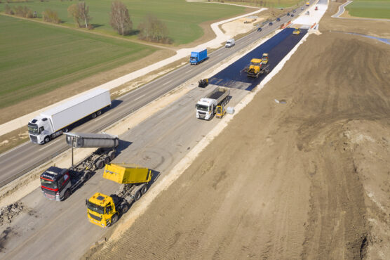
The European Union PAVE-SCAN project aims to build European GNSS-based and AI-driven technologies to detect and assess roadway pavement problems.
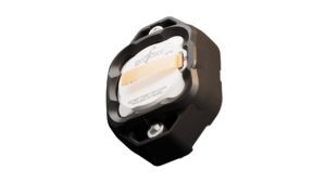
The proposed project aims for the development to market (TRL8-9) of European GNSS-based integrated low-cost sensor technologies and artificial-intelligence-driven open-architecture software solution — machine learning (ML) and machine vision (MV) — for the detection, classification and georeferencing of roadway pavement surface anomalies, and for the low-cost assessment of roadway pavements using participatory sensing.
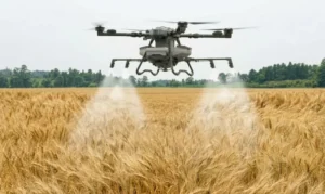
The proposed system is of practical importance because it provides continuous information about roadway pavement surface anomalies — valuable for efficiently monitoring the transport infrastructure and for public safety. The vision for roadway condition assessment using smartphone-like technology is under the hypothesis that such technology can be used for crowd-sourced data collection and analysis in GIS-based pavement management systems (PMS).
“The developed technology and related transport informatics are disruptive technologies that have the potential to reshape the transport and infrastructure industries,” according to the project description.
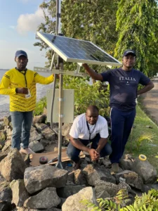
The project is funded under Horizon Europe; with the University of Cyprus Department of Civil and Environmental Engineering serving as a partner.
The project’s objectives are outlined below.
Table 1. Project objectives
| # | Project Objective | WP |
|---|---|---|
| 1 | Near-real-time analysis and classification of roadway anomalies | WP3,WP4,WP5 |
| 2 | Geospatial mapping of transport infrastructure, roadway anomalies and condition-assessment heatmaps | WP3,WP4,WP5 |
| 3 | Geospatial mapping of transport infrastructure, roadway anomalies and condition-assessment heatmaps | WP3,WP4,WP5 |
| 4 | Improved roadway management practices, prioritisation of public works & lower costs | WP4 |
| 5 | Reduction in the transport-related environmental footprint through improved O&M of transport infrastructure and of mass transit | WP4,WP6,WP7 |
| 6 | Reduction in roadway-assessment costs by utilization of a fleet of vehicles/buses as participatory sensors | WP5,WP6,WP7 |
| 7 | Integration with national transport initiatives (e.g., National Single Access Point), & with Digital Twin platforms, for dynamically updated roadway-condition models, and improvements in transport safety through roadway improvements | WP4, WP5 |
| 8 | Open-access data and APIs | WP1, WP8 |
| 9 | Product to market and ‘Product as a Service’ (PaaS) business model | WP8 |
| 10 | Dissemination of project results | WP1 |